In the flood of hot takes following Hurricane Harvey, much discussion has emerged around impervious surface – land that cannot absorb water and instead passes it off down the stream. Many of our libertarian friends have been espousing a set of “stats” about Houston’s impervious surface, linking back and forth to each other’s articles as proof of an apparently well known truth.
The Center for Opportunity Urbanism published a report by our well respected local adversary Tory Gattis and one of the nation’s leading purveyors of poorly done math and statistics, Wendell Cox. Like others, they cited an argument that they believe that Houston doesn’t have much impervious surface.
All of this seems to stem from a Cato Institute blog post by Vanessa Brown Calder and this “analysis” she calculated from USDA Forest Service data:

Seems pretty telling – if you are bad at math.
So we looked further into it, knowing that one of the unique characteristics of the City of Houston is its abnormally large land area, rendering comparisons of percent impervious surface most likely a dubious pursuit.
If you instead look at impervious surface per person – the amount of concrete sealing the ground shut on behalf of each one of us – a quite different interpretation emerges. We looked at the same USDA Forest Service report that it seems Cato did, but included all 20 cities in that report, not just the five that Cato deemed “similarily populated American cities” to Houston (a truly odd statement considering they chose to include a city with four times as many people and another with one sixth as many people as Houston).
The two US cities that suffered the two most costly natural disasters this nation has ever seen are also the two coastal cities with the highest rates of impervious surface per person.
Using this same data, we created the chart below which simply shows the total amount of impervious surface in each city. The people of the City of Houston have paved over more earth than any other US city studied in this report, except for the city of Los Angeles, which has us beat by 3 extra square miles, but is home to 1.7 million more people.
If Houston had instead developed at the density of New York City, it would have required only 50 square miles of impervious surface, leaving an additional 201 square miles of prairie, wetlands, and forests to soak up a little of that rain water.
This of course doesn’t mean in this unlikely alternative scenario that flood waters would stop flowing through our bayous or streets – which isn’t actually what anyone wants. It does mean that we would have had substantially less people’s homes spread across the Houston region in harms way on a substantially smaller footprint in need of protection and flood infrastructure than we did have.
The people of Houston region have extremely important discussions to have right now. We need comprehensive systems of engagement, collaboration, and planning for rebuilding the Houston region with resiliency, equity, and prosperity for all. We need free market solutions such as eliminating parking requirements – something local environmentalists have been calling for for many years. We need comprehensive, equitable regional planning and regional approaches that stop the ongoing waste of public funds and squandering of our abundance that the crony capitalism of our past has given us.
One thing we really do not need is bad math and disingenuous statistics.
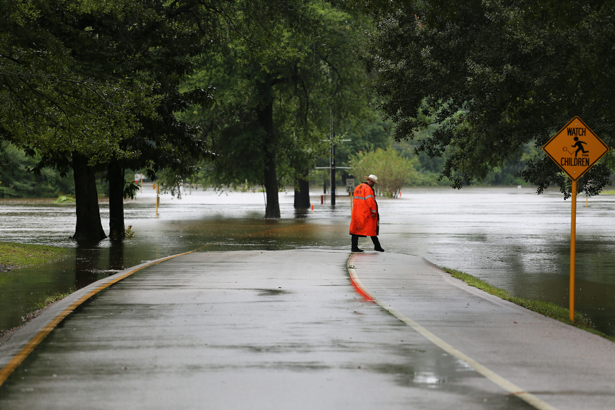
[Harvey flooding image credit: Jill Carlson, Some Rights Reserved]


